The Des Plaines River Trail Photos
County Line Road to Wheeling
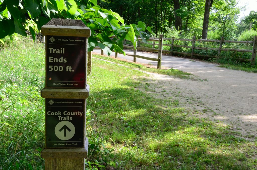
The trail does not actually end here as the sign says. This is just the end of the Lake County part of the DPRT. The actual trail continues on south into Cook County from here.
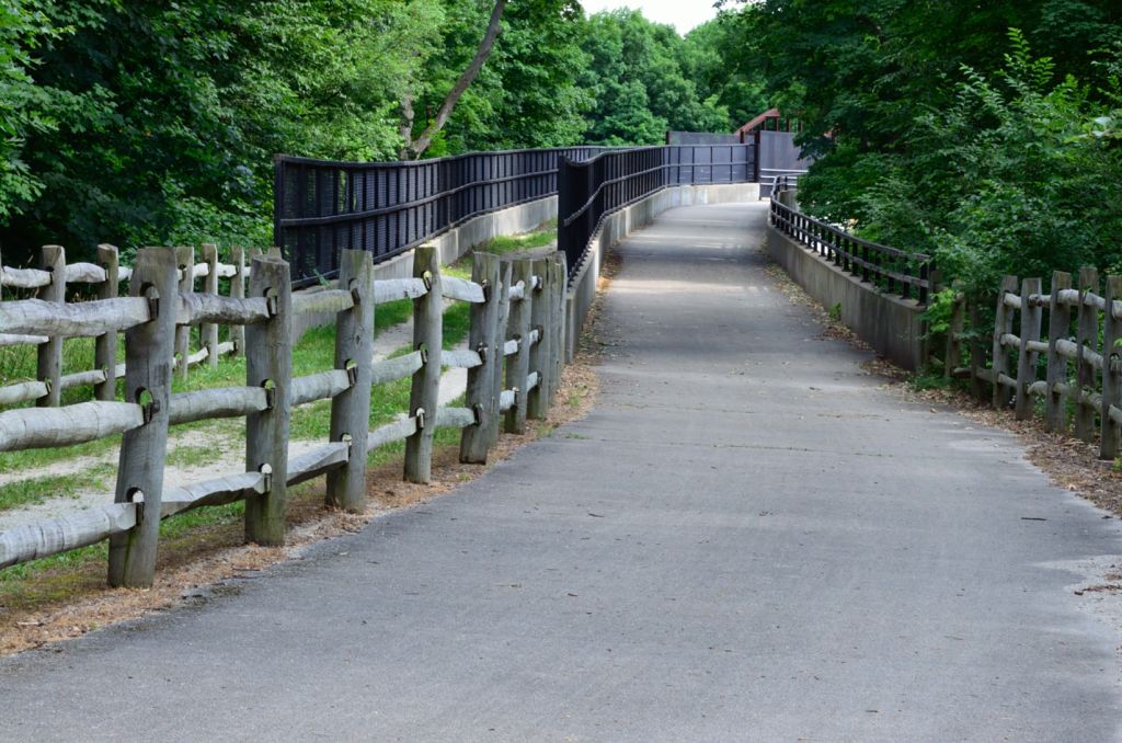
A closer view of the DPR trail and the ramp leading to the bridge over Lake Cook Road. This is a very long ramp and a huge bridge over the highway.
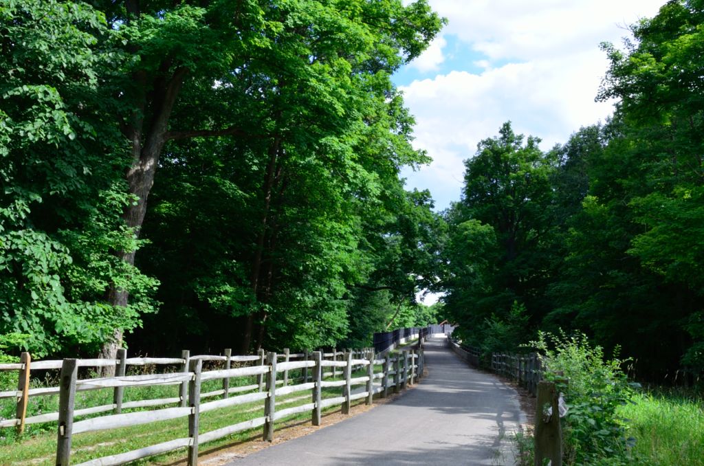
There is a crushed stone softer part of the trail leading to the bridge on the left with the paved part of the trail on the right.
This is a view of the high wall (on the left) and the ramp to the bridge that crosses Lake cook Road.
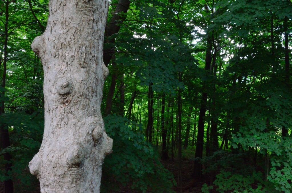
You can see the deep forest and drop off to the right of this knotted tree along the DPR Trail. The bridge is very high over the highway so it's a pretty steep ramp to ride up and you get pretty high above the woods too.
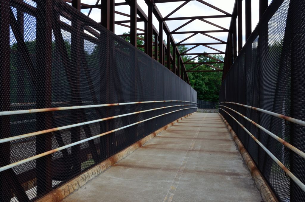
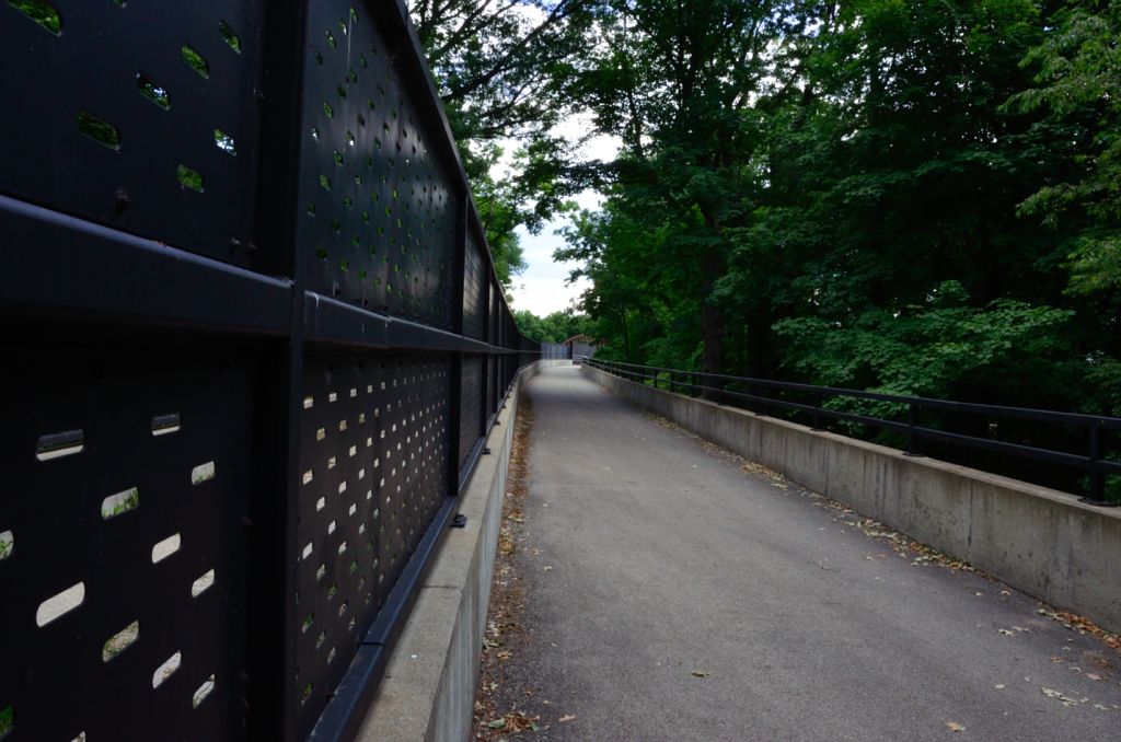
This is up on the large steel bridge where the Des Plaines River Trail crosses County Line Road.
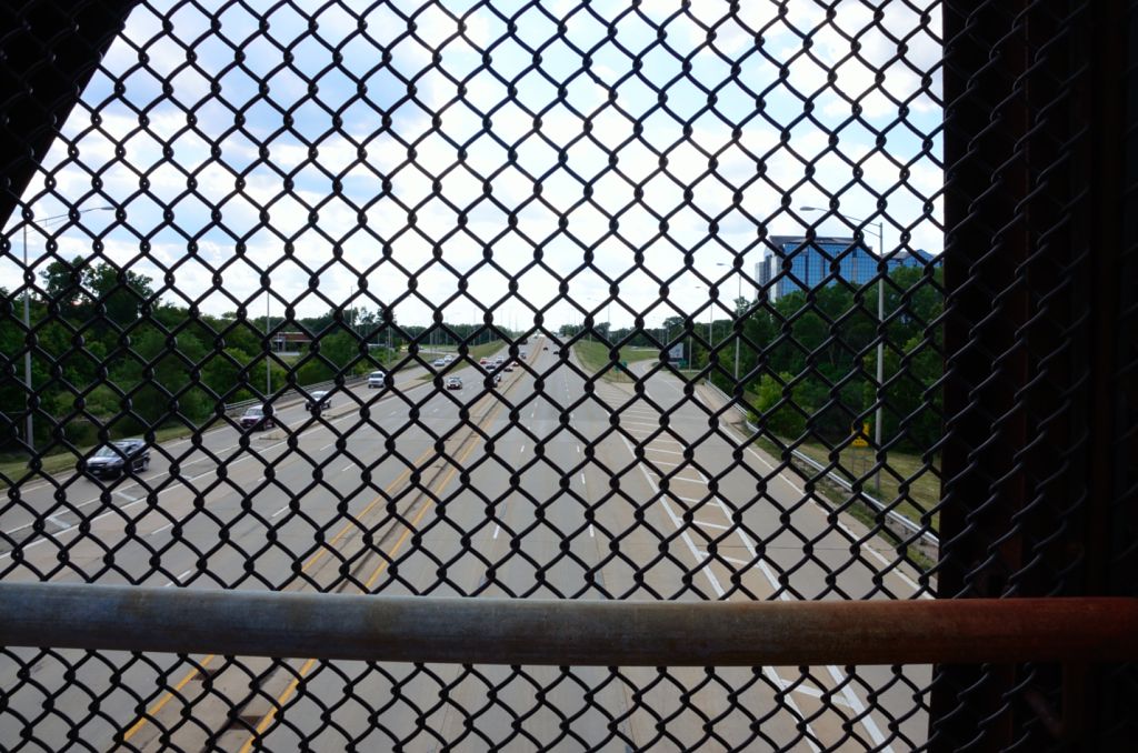
The bridge is fenced in on top as you can see in the photo above looking down Lake-Cook Road.
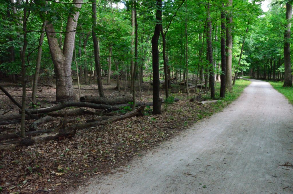
After crossing the bridge at Lake-Cook Road we get into the Cook County part of the DPRT. Further south on the trail we still have pretty wooded sections with many fallen trees also.
It real obvious now when you cross into the Cook County part of the trail since it is not maintained nearly as well as the Lake County part of the trail.
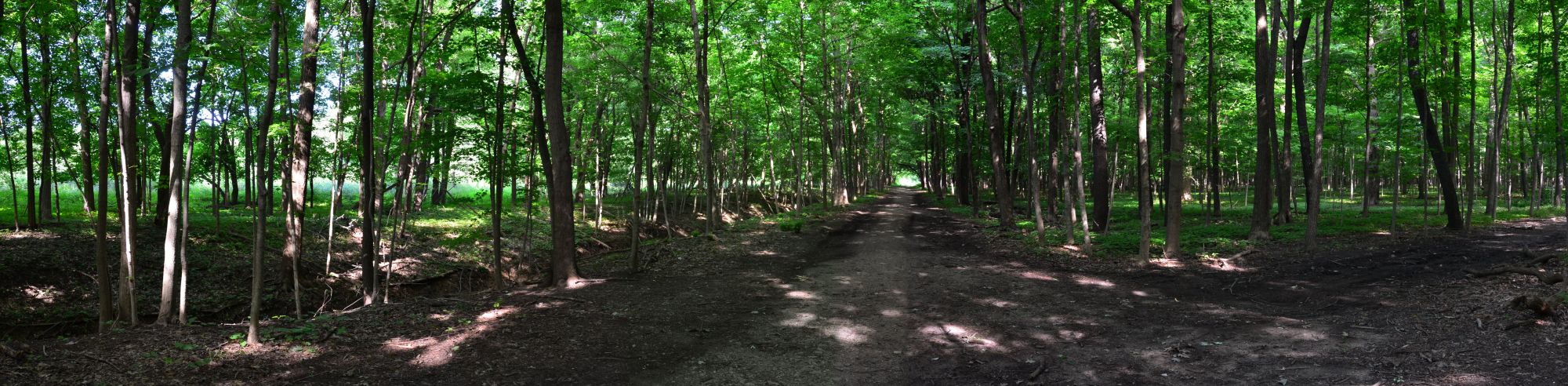
Here is a wide angle view of the Des Plaines River Trail Just south of Lake Cook Road, near Patawatomi Woods. Click on the photo above to see the larger wide angle view.
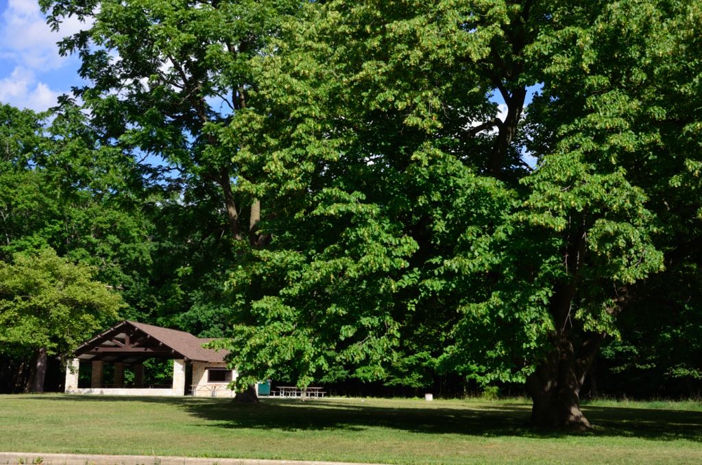
This is the pavilion at Patawatomi Woods in Wheeling (yea, I had to lookup the spelling on that one!).
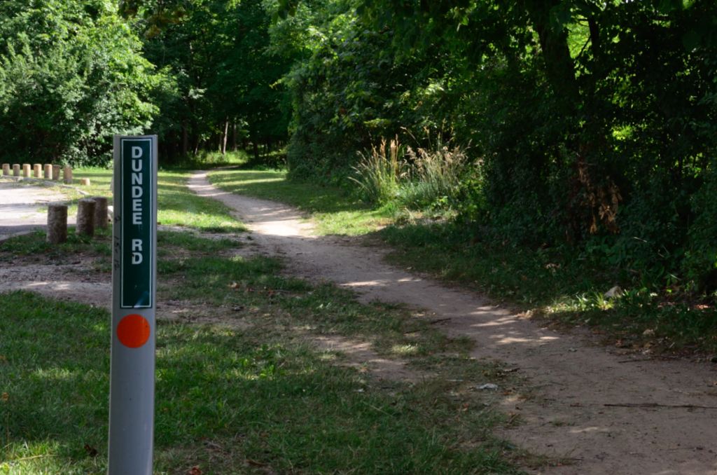
This is as you come up to the very busy Dundee Road crossing. This looked impossible to cross (in rush hour) but there is a sidewalk (on both sides) that you can take to the intersection of Milwaukee Ave and Dundee where you can cross at the light. I just turned around here for this trip.
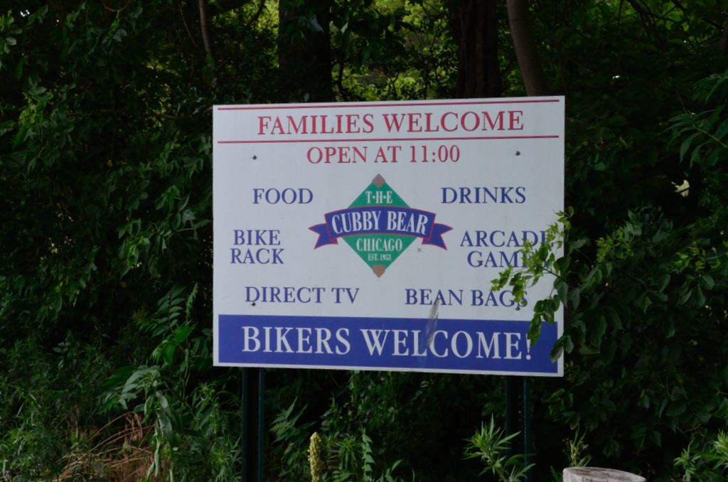
On my way back I noticed this sign as you go north and enter the Cubby Bear parking lot. Now that's the kind of sign I like to see!
Bikers Welcome! :-)
Here's the Photo Tour of the Half Day to Old School Forest Preserve ride from August 16th, 2014. These pages include photos of the DPR Trail in this section along with some nice scenery photos (including a few HDR photos) taken from various locations on the trail.
Old School Trail and MacArthur Woods - Photos 20
Route 60, Wright Woods and Half Day FP - Photos 21
Here's the GPS Map of the ride above.
Here are some Fall Photos of the DPRT from Euclid (or Lake Street) a little east of Prospect Heights south to Golf Road then back north to Milwaukee Ave (from October 9, 2012):
DPRT Fall Photos 17 - Just South of Lake Street
DPRT Fall Photos 18 - Branch to Beck Lake
DPRT Fall Photos 19 - North of Lake Street
Here's the GPS Map of the ride above.
Here's the photo tour of the Des Plaines River Trail from Higgins Road in Park Ridge north to Dundee Road in Wheeling (July, 2012).
The Des Plaines River Trail Photos 12 - Park Ridge Leg
The Des Plaines River Trail Photos 13 - Des Plaines Riverwalk Area
The Des Plaines River Trail Photos 14 - Big Bend Lake to Euclid
The Des Plaines River Trail Photos 15 - To Allgauers Restaurant
The DPRT Photos 16 - To Dam No 1, Wheeling
Here's the GPS Map of the ride above.
Here's the photo tour of the Des Plaines River Trail from Lincolnshire (Routes 21 and 22 going south) to Dundee Road in Wheeling, Il. (June, 2012).
The DPRT Photos 8 - Lincolnshire Marriott Area
The DPRT Photos 9 - Path along Milwaukee Road
The DPRT Photos 10 - Deerfield Road to Lake Cook Road
The DPRT Photos 11 - County Line Road to Wheeling < You are here
Here's the GPS Map of the ride above.
Here's the photo tour of the Des Plaines River Trail, from Route 22 in Half Day (going north) to Libertyville (July, 2005).
Des
Plaines River Trail Photos 4 - Lincolnshire to Wright Woods
Des
Plaines River Trail Photos 5 - Bridge Underpasses and Equestrian
Des Plaines River Trail Photos 6 - North to North Shore Path
DPRT Photos 7 - North Shore Path to Independence Grove
Here's the photo tour of the Des Plaines River Trail, from Wisconsin (going south) to Libertyville (September, 2004).
Des
Plaines River Trail Photos 1 - Van Patton Woods
Des
Plaines River Trail Photos 2 - Mile 5 South to Great America
Des
Plaines River Trail Photos 3 - Mile 11 to Adler Park in Libertyville
Note: Des Plains is a common mi s-spelling for Des Plaines (with the e near the end) so will see some references to Des Plains River Trail on these pages to help with the searches for the trail pages.
Photos © Copyright Rob Chapman, about-bicycles.com. Photos with * Copyright Dale Kiffel.
Half Day to Old School, August 2014
Fall Photos, October,2012
DPRT Photos 17
DPRT Photos 18
DPRT Photos 19
Park Ridge to Wheeling, July 2012.
DPRT Photos 12
DPRT Photos 13
DPRT Photos 14
DPRT Photos 15
DPRT Photos 16
Lincolnshire to Wheeling , June 2012
DPRT Photos 8
DPRT Photos 9
DPRT Photos 10
DPRT Photos 11
Half Day to Libertyville, July
DPRT Photos 4
DPRT Photos 5
DPRT Photos 6
DPRT Photos 7
Wisconsin to Libertyville, September, 2004
DPRT Photos 1
DPRT Photos 2
DPRT Photos 3